


The Salisbury Association conserves historic maps of Salisbury and its towns and villages. Photographer Joseph Meehan photographed ten of them that have been reproduced and are available for purchase at the Academy Building.
Publications
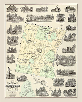
1853 Town of Salisbury
Litchfield Co. Connecticut, Richard Clark, Philadelphia, 17” x 22”.
$25
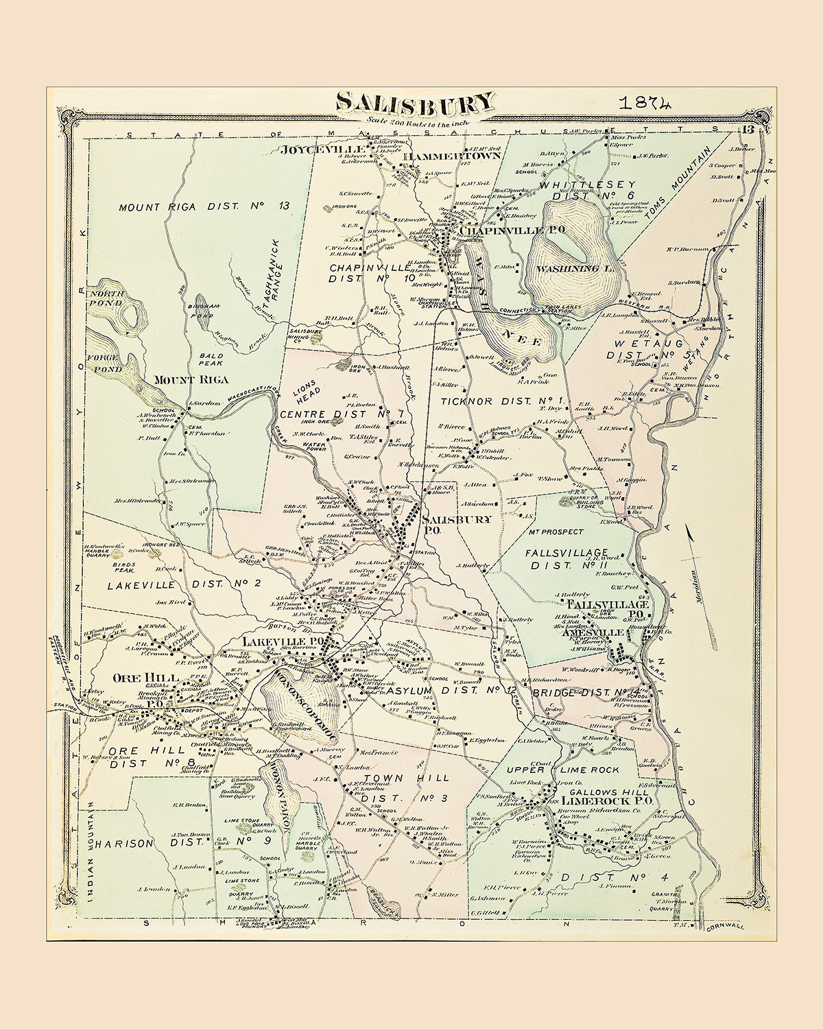
1874
Salisbury, 17” x 22”.
$25
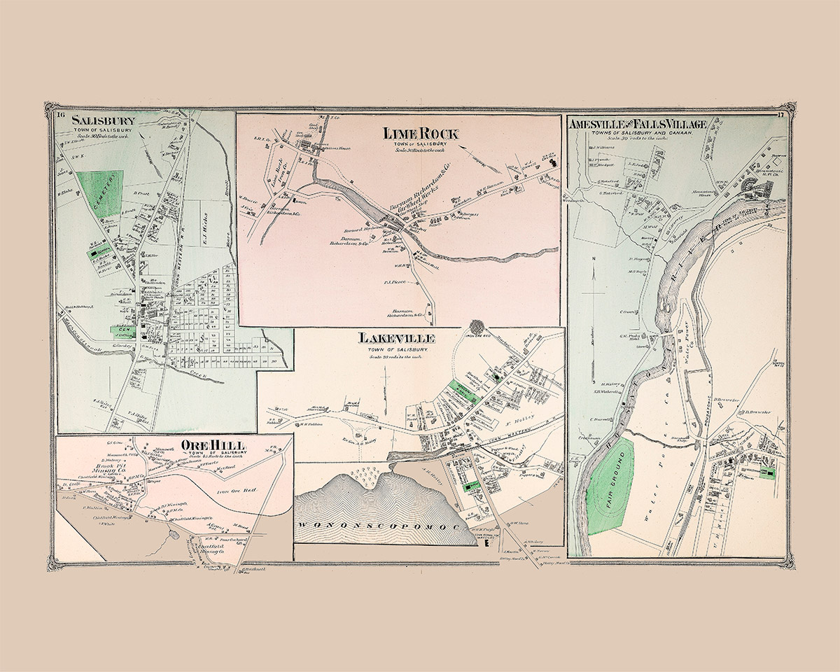
Salisbury, Lime Rock, Amesville and Falls Village
Ore Hill and Lakeville
$25
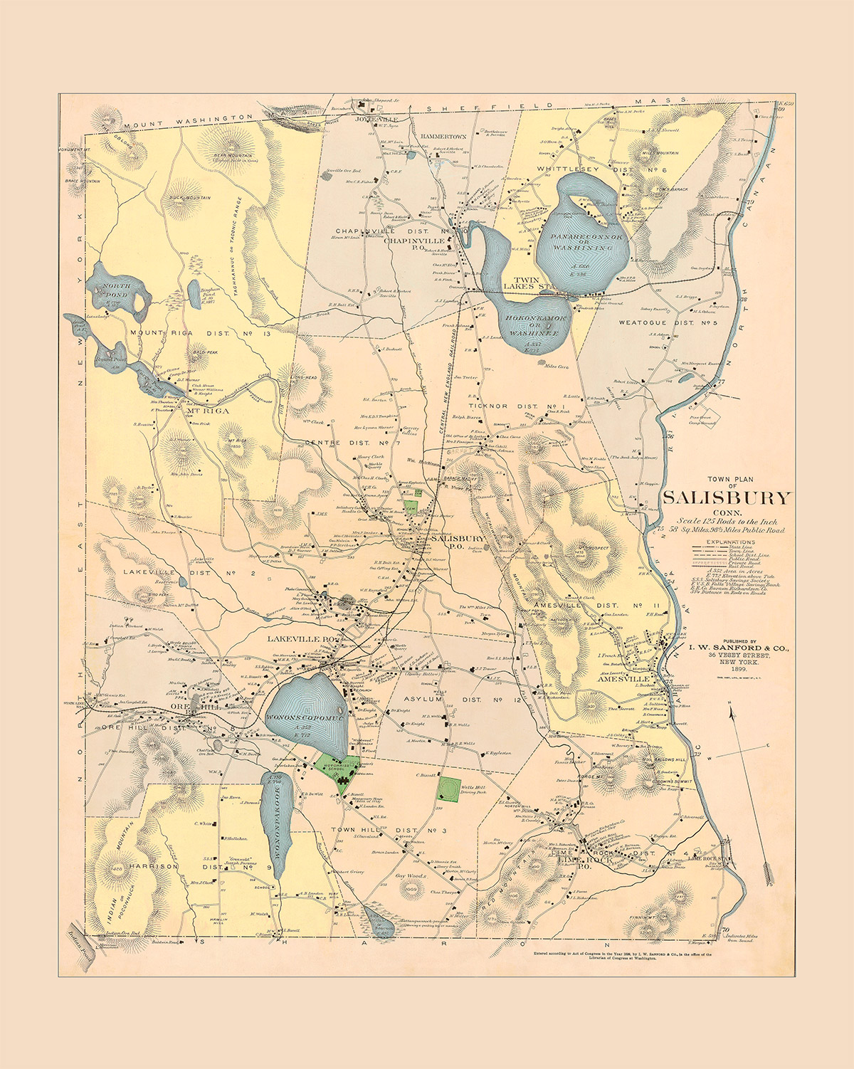
1899
Town Plan of Salisbury, Conn, published by I. W. Sanford & Co., New York, 17” x 22”.
$25
1899
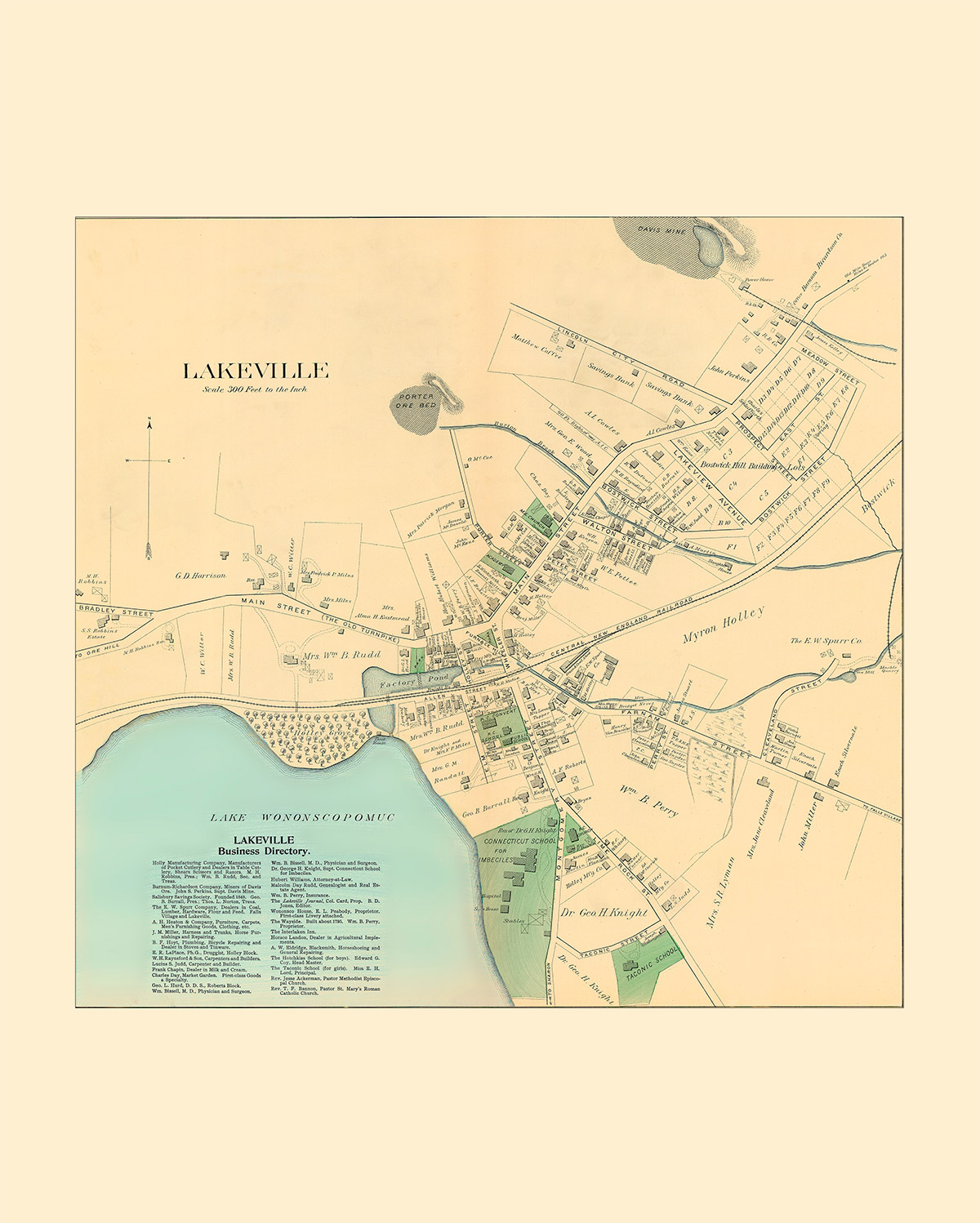
Lakeville and Lakeville Business Directory, published by I. W. Sanford & Co., 17” x 22”.
1899
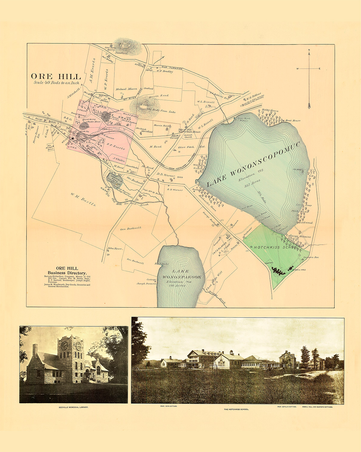
Ore Hill and Ore Hill Business Directory, published by I. W. Sanford & Co., 17” x 22”.
$25
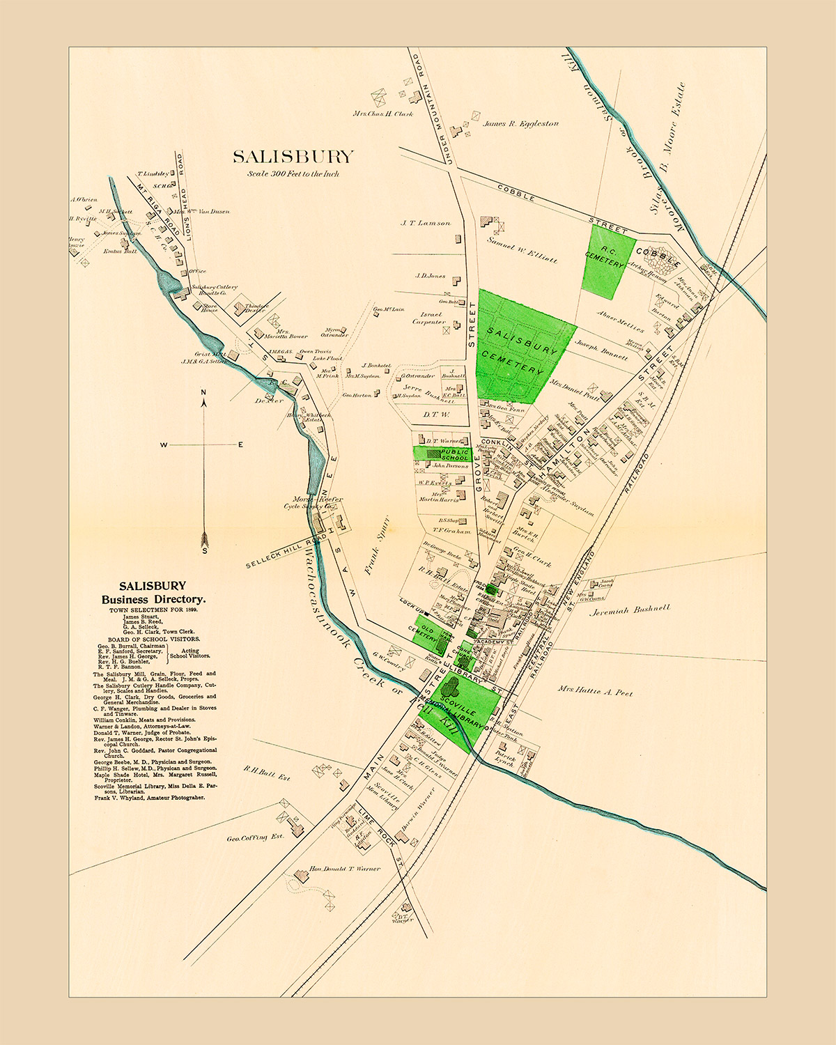
1899
Salisbury Business Directory, published by I. W. Sanford & Co., 17” x 22”, $25.
$25
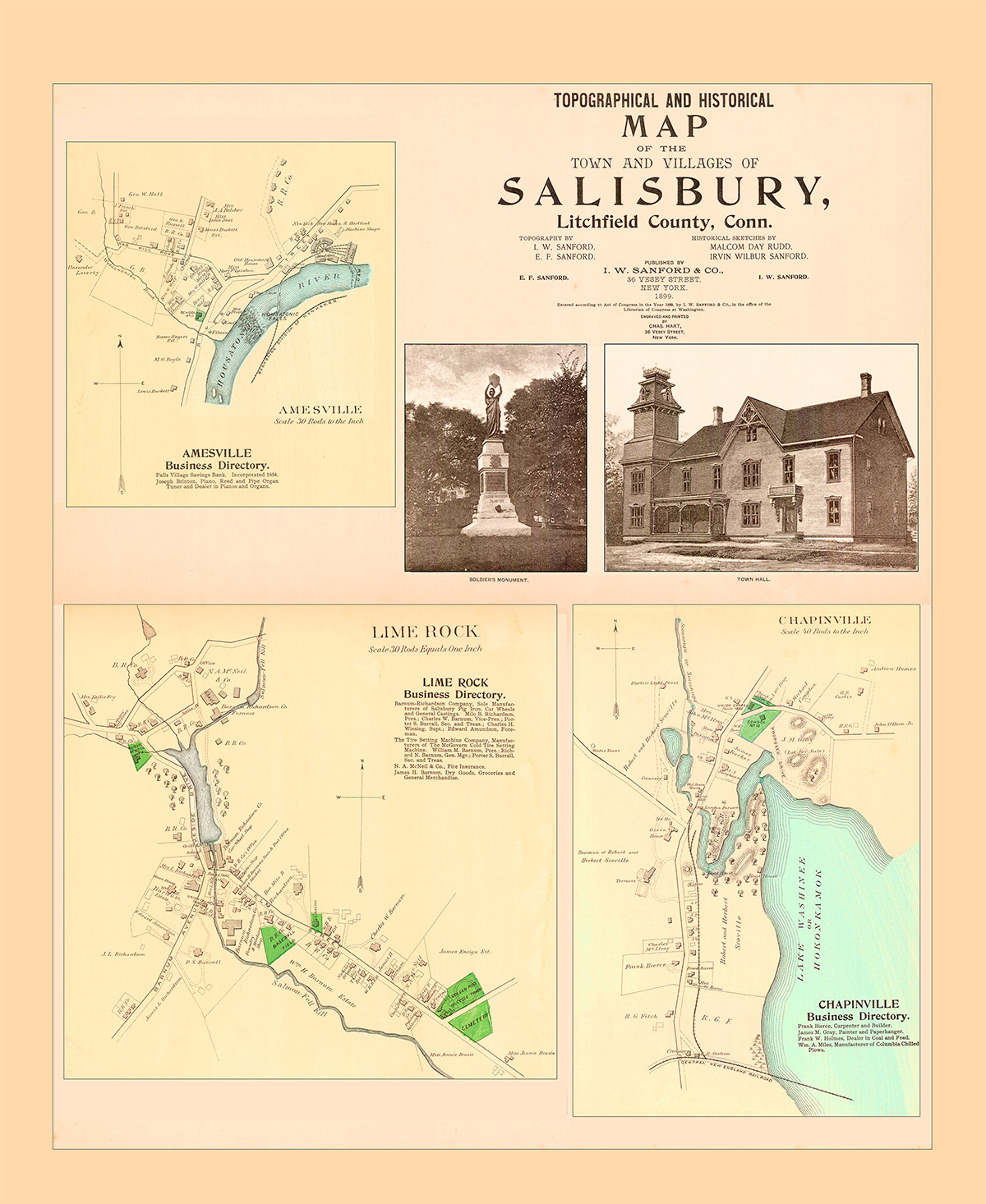
1899
Topographical and Historical Map of the Town and Villages of Salisbury, Litchfield County, Conn, published by I. W. Sanford & Co., NY, 17” x 20”.
$25
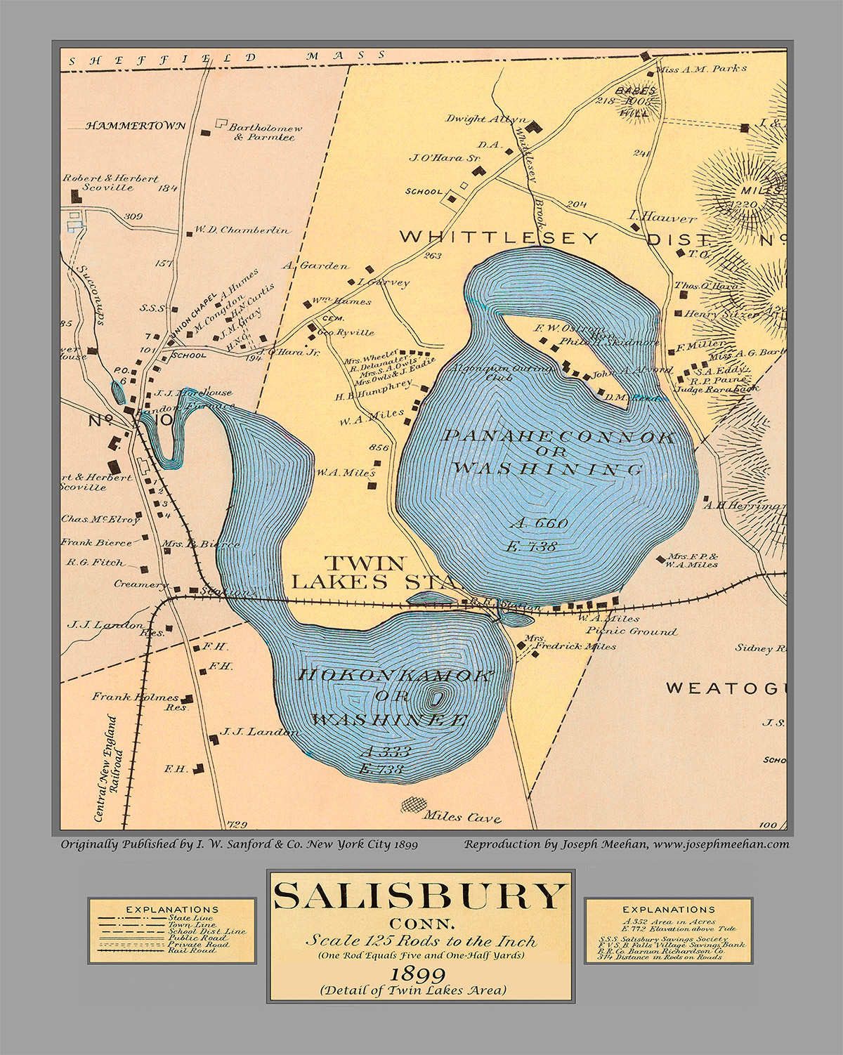
1899
Salisbury Conn. (Detail of Twin Lakes Area), published by I. W. Sanford & Co., NY, 17” x 21”.
$25
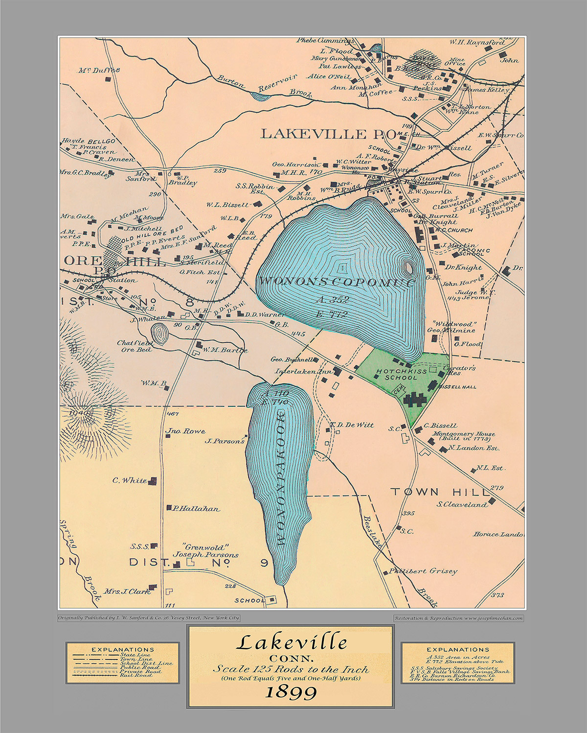
1899
Lakeville Conn., published by I. W. Sanford & Co, New York City, 17” x 21”.
$25
Upload Image...
Salisbury Open Space Map
prepared by the Salisbury Association Land Trust, 24” x 42”.