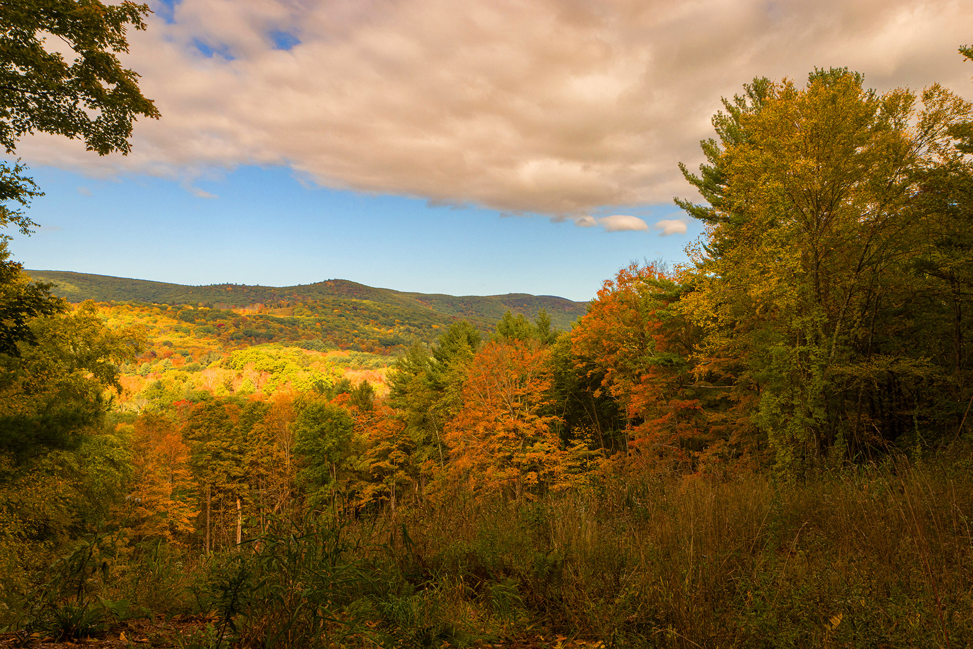
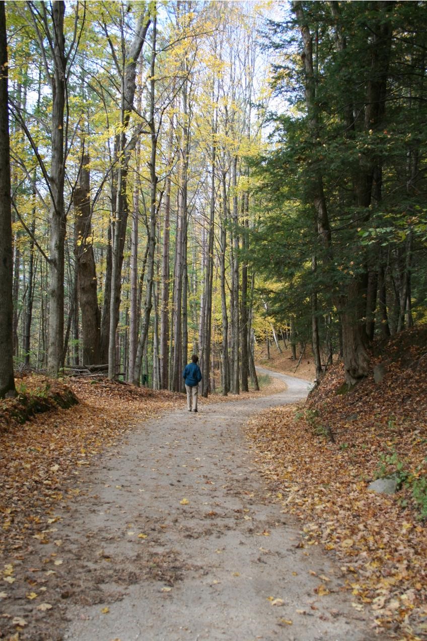
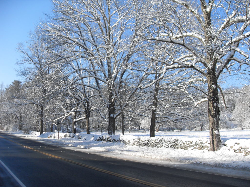
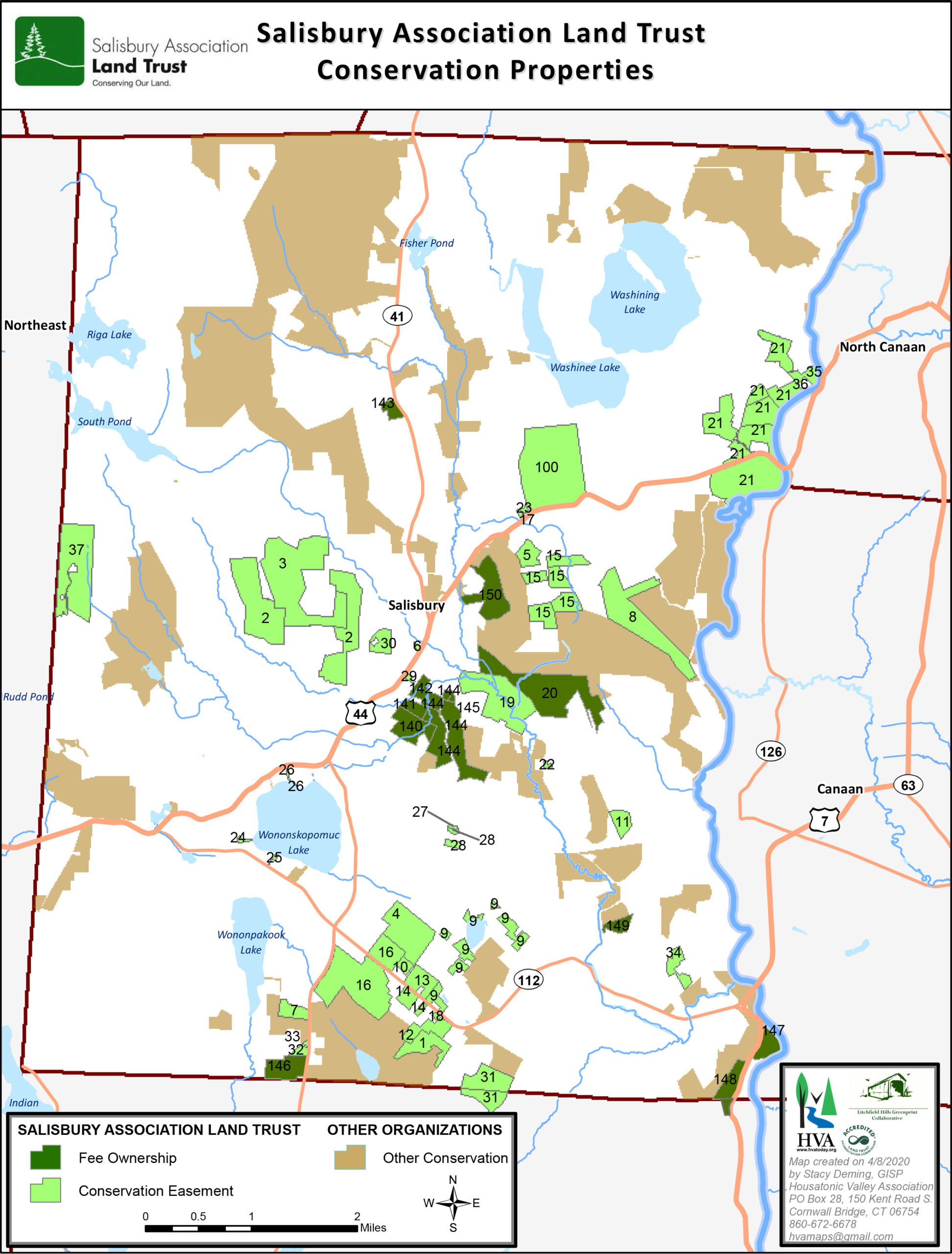
Map of Salisbury Association Conserved Properties

Download Pdf version

Pope Preserve

Located east of Salisbury on RT 44 near parking area for the Appalachian Trail. Acquired from the Pope family in 2019 with the help of grants from the State of Connecticut, Federal Highlands Act Funding, Appalachian Trail Conservancy, Anne and Rollin Bates Foundation, and John T. and Jane A. Wiederhold Foundation. A trail map is located on the property and on our website.

View Trail Map

Dark Hollow

Straddles both sides of a town-owned dirt road that bisects the property and connects Farnam Road with Salmon Kill Road. Acquired in 2003 from the Canon family with the help of a Connecticut Open Space and Watershed Land Acquisition grant and many generous private donors. A trail map is located on the property and on our website.

View Trail Map

Sycamore Field

Located on Route 7, about a quarter-mile south of intersection of Route 112 in Lime Rock. Purchased in 2014 with generous support from the John T. and Jane A. Wiederhold Foundation and Housatonic Valley Association. A trail map is located on the property and on our website.

View Trail Map

Yoakum Preserve

Accessed from the end of Reservoir Road in Lakeville and across a Nature Conservancy right-of-way. Acquired in 2020 from Alice Yoakum with help from the State of Connecticut,
Federal Highlands Act Funding, John T. and Jane A. Wiederhold Foundation, and Housatonic Valley Association. Signage for parking and directions to the trail coming soon.

Railroad Ramble

Runs parallel to RT 44 between Lakeville and Salisbury. It can be accessed at several points along the trail. The Ramble has been preserved through the gifts of neighbors and the efforts of the Land Trust; the first 45 acres were acquired in 1979. A trail map is coming soon.

Schlesinger Bird Preserve

Accessed from Scoville Ore Mine Road off RT 41/Under Mountain Road. Each spring a path is mowed, and the public is invited to participate in our annual bird survey and guided walk with a master birder. New trails have been developed recently. Generously donated by Mary Eddy Schlesinger in 1998. A trail map is located on the property and on our website.

Tory Hill

Located on RT 41 near the Lakeville/Sharon border. Joint project with several land owners, Sharon Land Trust, State of Connecticut, and others to preserve a prime scenic vista obscured by rampant spread of invasive plant species. By removing invasive species and planting native species and managing the land, we are conserving a rich ecological bounty and best agricultural soils to improve important wildlife habitats.

Stiles Meadow

Viewed from RT 44 about ¼ mile southwest of Town Hall in Salisbury. Historical significance. Once the encampment site for Hessian prisoners being marched from Cambridge to Virginia by the Continental Army during the Revolutionary War. Generously donated by Helen Ellsworth in 1990.

Vincent Preserve

Located on the south side of RT 44, 1/3 mile west of Salmon Kill Road. The Association’s Beautification Committee is collaborating with the Land Trust to add native plants and habitat to the preserve. Generously donated by George G. and Virginia B. Vincent in 2006.

How We Protect the Land

Collaborating with other conservation and governmental groups to create green corridors that extend beyond Salisbury’s borders –

The Housatonic Valley Association’s Litchfield Hill Greenprint promotes the vision of “Follow Canada”. The Berkshire-Taconic Regional Conservation Partnership (RCP) involves Land Trusts along the Taconic Plateau in northwest CT, eastern NY, western MA, and western VT. We are in the process of joining a third RCP, the Hudson to Housatonic RCP, which focuses on eastern NY and Fairfield County.

Together, the three Regional Conservation Partnerships are called the Highlands to Lowlands RCP and are working to protect the highlands and nearby lowlands in our RCP’s focus areas.