
Explore Salisbury's Preserves & Trails

Preserves owned by the Salisbury Association may be enjoyed by the public in numerous ways. We develop trails for walking, hiking, snowshoeing, and cross-country skiing, where appropriate. Some of our preserves provide stunning views, and some provide a challenging workout. All provide a quiet place for the enjoyment of nature. Come and enjoy the sights, sounds, and beauty of our area. Take nothing away with you but memories, and leave nothing behind but footprints! 

View the complete collection of trail maps on our Resources page.
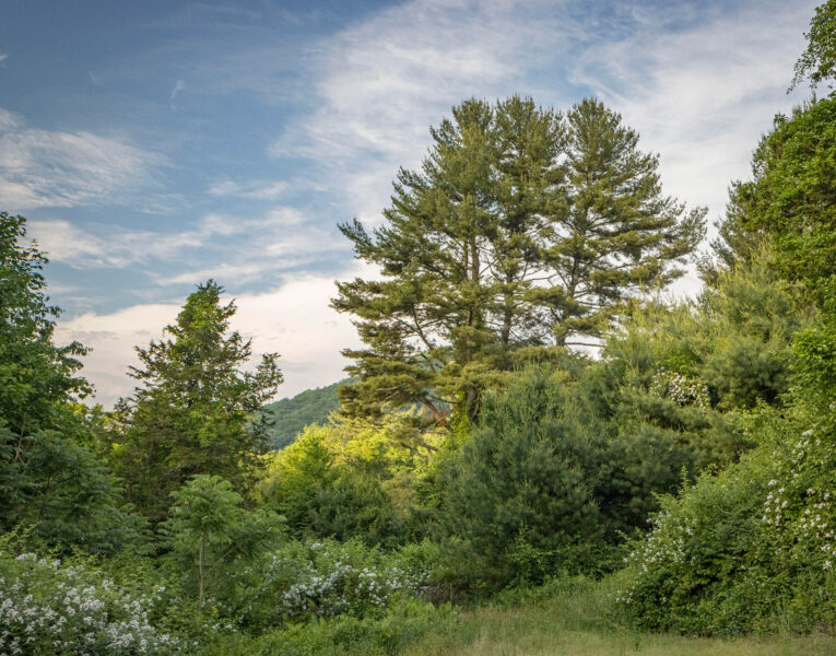
 

Belter-Lime Rock

A loop walking trail on 114 acres.  The trail starts in a meadow before entering the forest.
Note: There will be Lime Rock Track noise when racing is occurring.


Acreage: 114 acres.
Address: “Belter-Lime Rock” on Google Maps. The official address is just Rt 112, just before the intersection with Rt 7
Distance: Short loop: 0.6 miles – Long loop: 1.2 miles
Difficulty: Moderate
Dogs: Allowed, leashed only

Dark Hollow

Beautiful trails close to town on both sides of Dark Hollow Road. A 140-acre preserve with three short trails open to hikers and cross-country skiers.  

Address: “Dark Hollow Preserve” on Google Maps. Dark Hollow Rd
Distance: Summit Trail: 1.3 miles Lower Trail: 0.9 miles Farnum Fields Trail: 0.5 miles Total: 2.7
Difficulty: Easy
Dogs: Allowed, leashed only

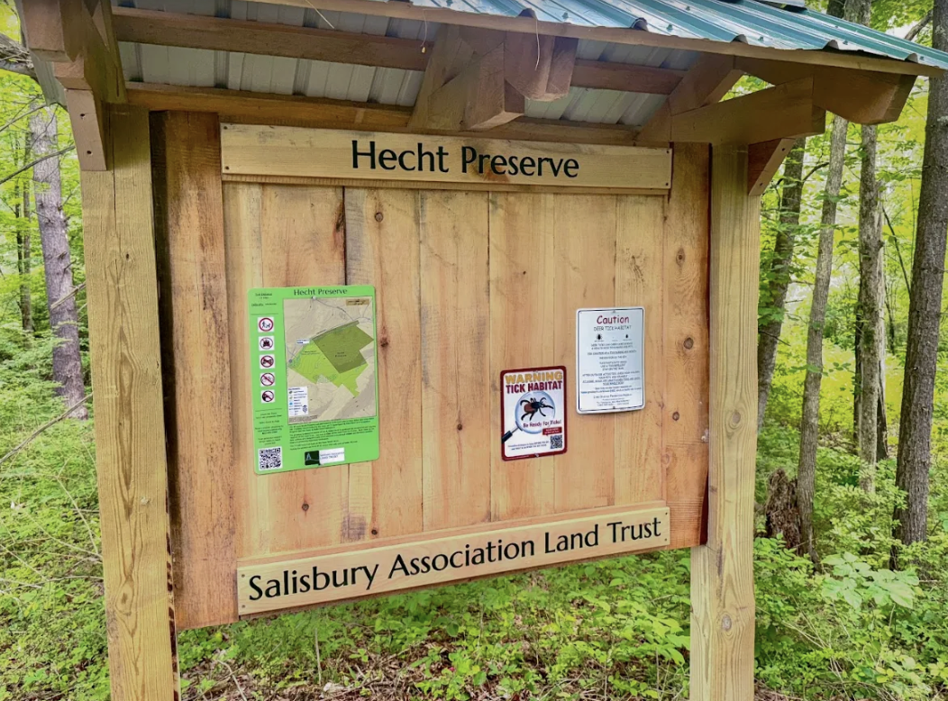
Hecht Preserve

Hecht Preserve

A beautiful 1.3-mile, moderately difficult loop trail on 47 acres that starts at the town's Wack Forest. 

Acreage: 47 acres
Address: “Hecht Preserve” on Google Maps. Rt 112 (0.5 miles west of Wells Hill Rd)
Distance: 1.3 miles
Difficulty: Moderate
Dogs: Allowed, leashed only

Inkas Woods

Inka’s Woods

The trail is a connector to the Limestone Spring A.T. shelter and, after another 1/2  mile to the Appalachian Trail 

Acreage: 43 acres
Address: “Inka’s Woods” on Google Maps. End of Sugar Hill Rd
Distance: Parking to Limestone Springs Shelter 0.6 miles
Difficulty: Easy
Dogs: Allowed, leashed only

Pope Preserve

Scenic views, habitat for endangered animal and plant species, and a pristine water source. 79 acres on Wetawanchu Mountain, bordered by the Appalachian Trail, with a 1.3 mile-loop hiking trail. 

Acreage: 79 acres
Address: “Pope Preserve” on Google Maps. Rt 44 (0.2 miles north of Cobble Rd)
Distance: 1.3 miles
Difficulty: Easy
Dogs: Allowed, leashed only

Railroad Ramble

Easy walking, biking, and cross-country skiing through varied habitats. 92.4 acres on a town-owned former railroad right-of-way between Salisbury and Lakeville. 

Acreage: 95 acres
Address: Multiple access points – Ball field in Lakeville by gas station,  Salmon Kill Rd, Labonnes/Library St in Salisbury 
Distance: 2.1 miles
Difficulty: Easy
Dogs: Allowed, leashed only

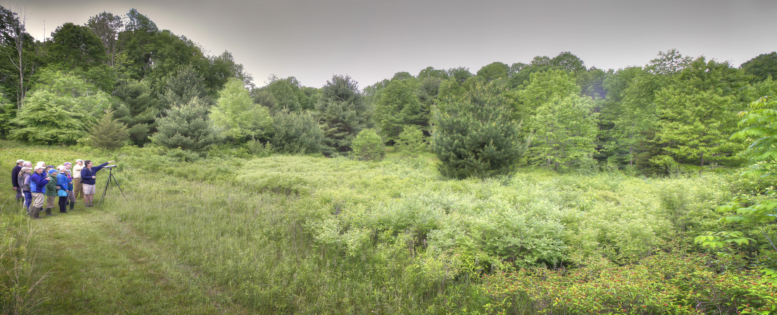
Schlesinger Bird Preserve

Habitat for breeding and nesting of various bird species. 19 acres of old field, shrubland, and young woodland. 

Acreage: 19 acres
Address:“Schlesinger Bird Preserve” on Google Maps. Scoville Ore Mine Rd
Distance: .75 miles
Difficulty: Easy
Dogs: Allowed, leashed only

Stiles Meadow

Stiles Meadow

Beautiful meadow bordered by a stone wall in the center of Salisbury. 2.75 acres of open field between the 1772 Stiles House and Bushnell Tavern. 

Address: Rt 44, 1.4 miles southwest of Town Hall
Acreage: 3 acres
Distance: N/A no trail
Difficulty: N/A no trail
Dogs: Allowed, leashed only

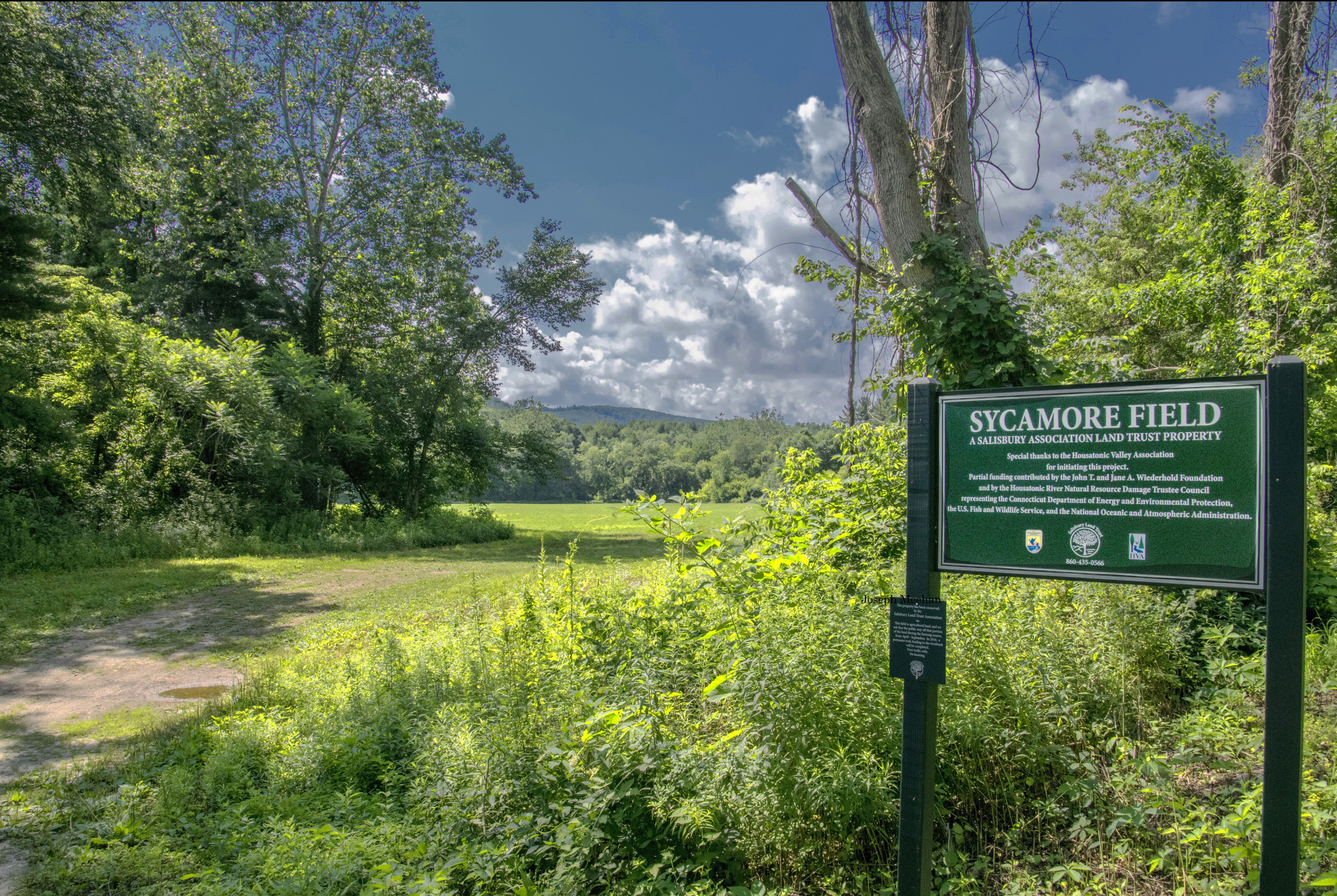
Sycamore Field

Sycamore Field

Short one-way walking trail around a farm field, plus open views of the Housatonic River. 39-acre preserve. 

Acreage: 40  acres
Address: “Sycamore Field” on Google Maps. Route 7 about ⅜ mile south of intersection with Rt 112
Distance: 1 mile round trip
Difficulty: Easy
Dogs: Allowed, leashed only

Tom’s Hill Preserve

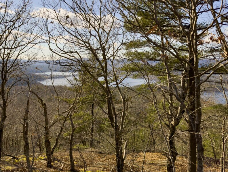
The 276-acre Preserve has a 2.6-mile loop trail with views of Twin Lakes, amazing stone walls, and steep cliffs.

Acreage: 276 acres
Address: “Tom’s Hill Preserve” on Google Maps. Twin Lakes Rd.
Distance: Loop trail: 2.6 miles; Spur trail (not yet open to the public, but will be this Fall): 1.2 miles there and back
Difficulty: Moderate
Dogs: Allowed, leashed only

Tory Hill

Tory Hill

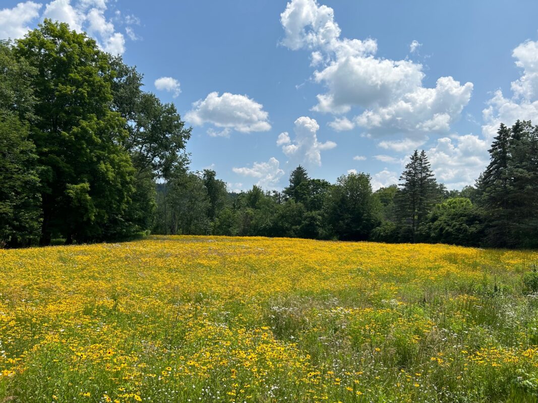
Open space with magnificent scenic vistas, prime agricultural soils, and diverse wildlife habitat. 52 acres on the border of Lakeville and Sharon. 
Acreage: 52 acres
Address: Rt 41 near Lakeville/Sharon border
Distance: N/A no trail
Difficulty: N/A no trail
Dogs: Allowed, leashed only

Vincent Preserve

Vincent Preserve

Open space with meadow view. Three acres near the Salisbury–Lakeville border. 

Acreage: 3 acres
Address: Rt 44, ⅓ miles west of Salmon Kill Rd
Distance: 1/10 of a mile
Difficulty: Easy
Dogs: Allowed, leashed only

White Hollow Preserve

White Hollow Preserve

 Canoe or Kayak access to the Housatonic River. 

Acreage: 63 acres
Address: Route 112 at intersection with Route 7
Distance: N/A – more of a driveway than a trail. An actual trail is going to be built in 2027
Difficulty: Easy
Dogs: Allowed, leashed only

Yoakum Preserve

Scenic views, habitat for protected animal and plant species, and a valuable resource for Salisbury's drinking water. 241 acres on Mt Riga.  

Acreage: 241 acres
Address: “Yoakum Preserve” on Google Maps. End of Reservoir Rd on the right, just past the 2nd intersection of Tokone Hills Rd.
Distance: Parking to Trailhead: 0.4 miles; Preserve Access Trail: 0.7 miles; Long Wolf Hill Loop: 2.4 miles; Short Wolf Hill Loop: 1.6 miles. Total (Long Wolf Hill Loop): 3.5 miles
Difficulty: Difficult
Dogs: No Dogs Allowed