



Historic Maps of Salisbury
These maps reveal how Salisbury has changed over time, offering a visual record of its evolving landscape, roads, and communities.
> Click on each map for a larger view.
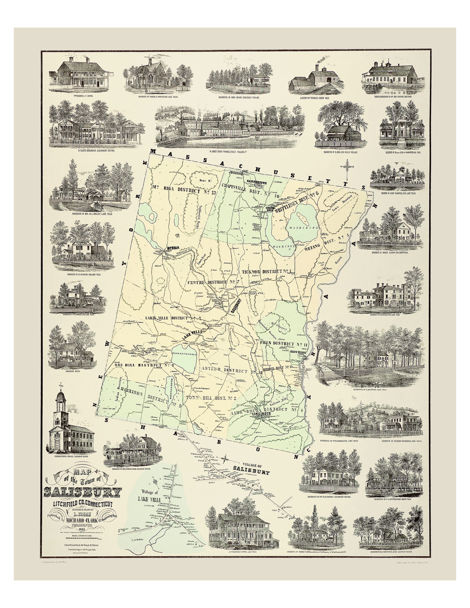
1853 | Town of Salisbury,
Litchfield Co., CT
Litchfield Co., CT
Litchfield Co., Connecticut, Richard Clark, Philadelphia
17” x 22”. | $25
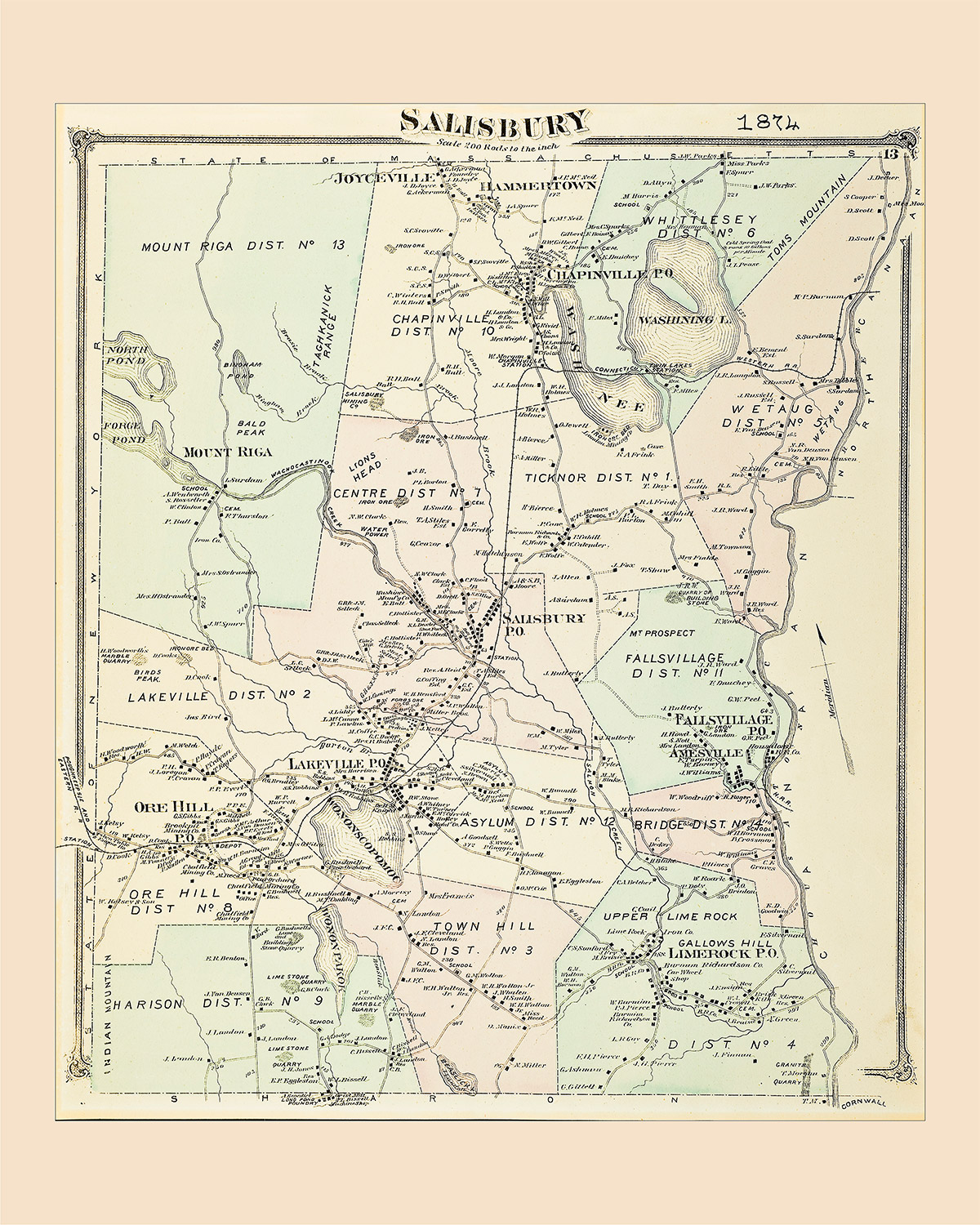
1874 | Salisbury
17” x 22” | $25
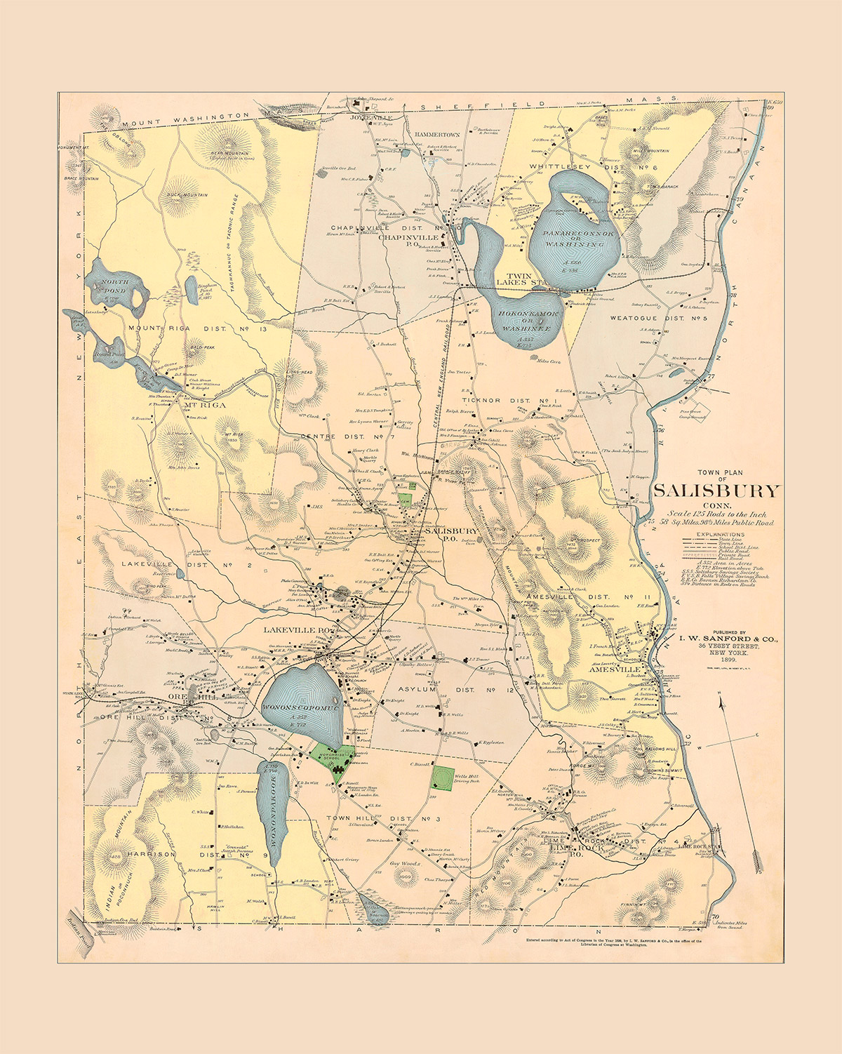
1899 | Town Plan of Salisbury, CT
Published by I. W. Sanford & Co., New York
17” x 22” | $25
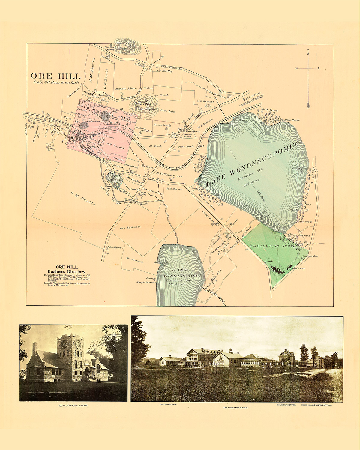
1899 | Ore Hill and Ore Hill Business Directory
Published by I. W. Sanford & Co.
17” x 22” | $25
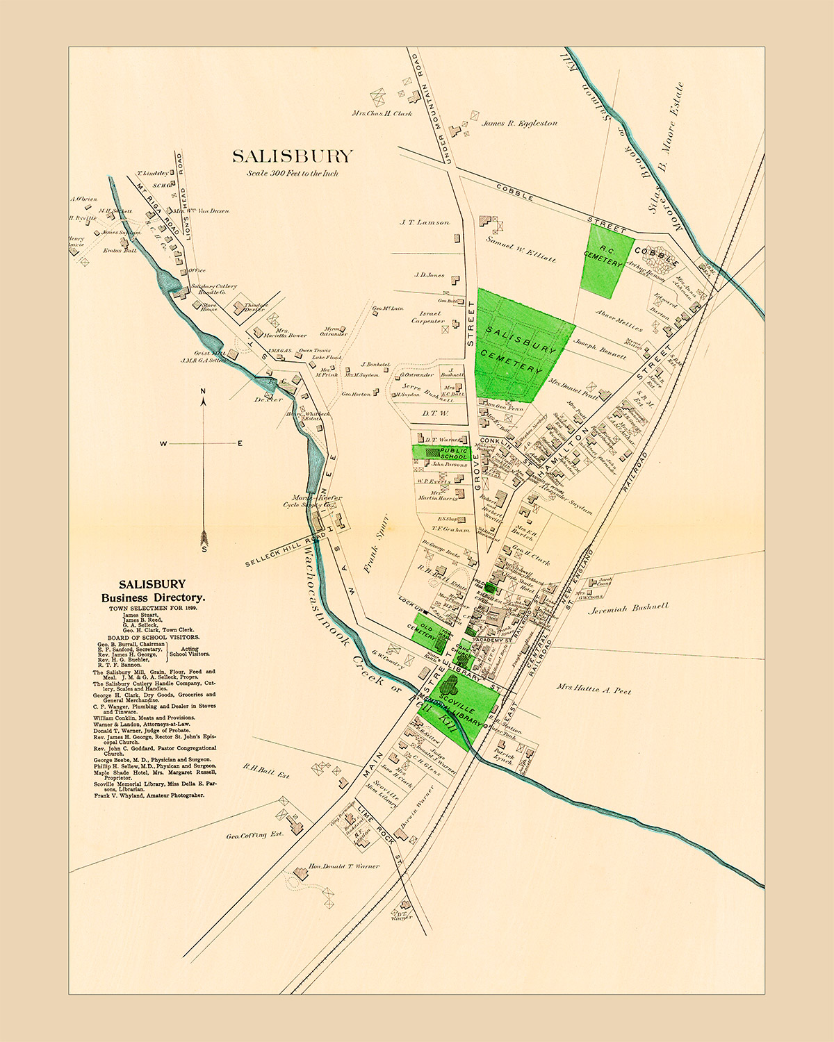
1899 | Salisbury Business Directory
Published by I. W. Sanford & Co.
17” x 22” | $25
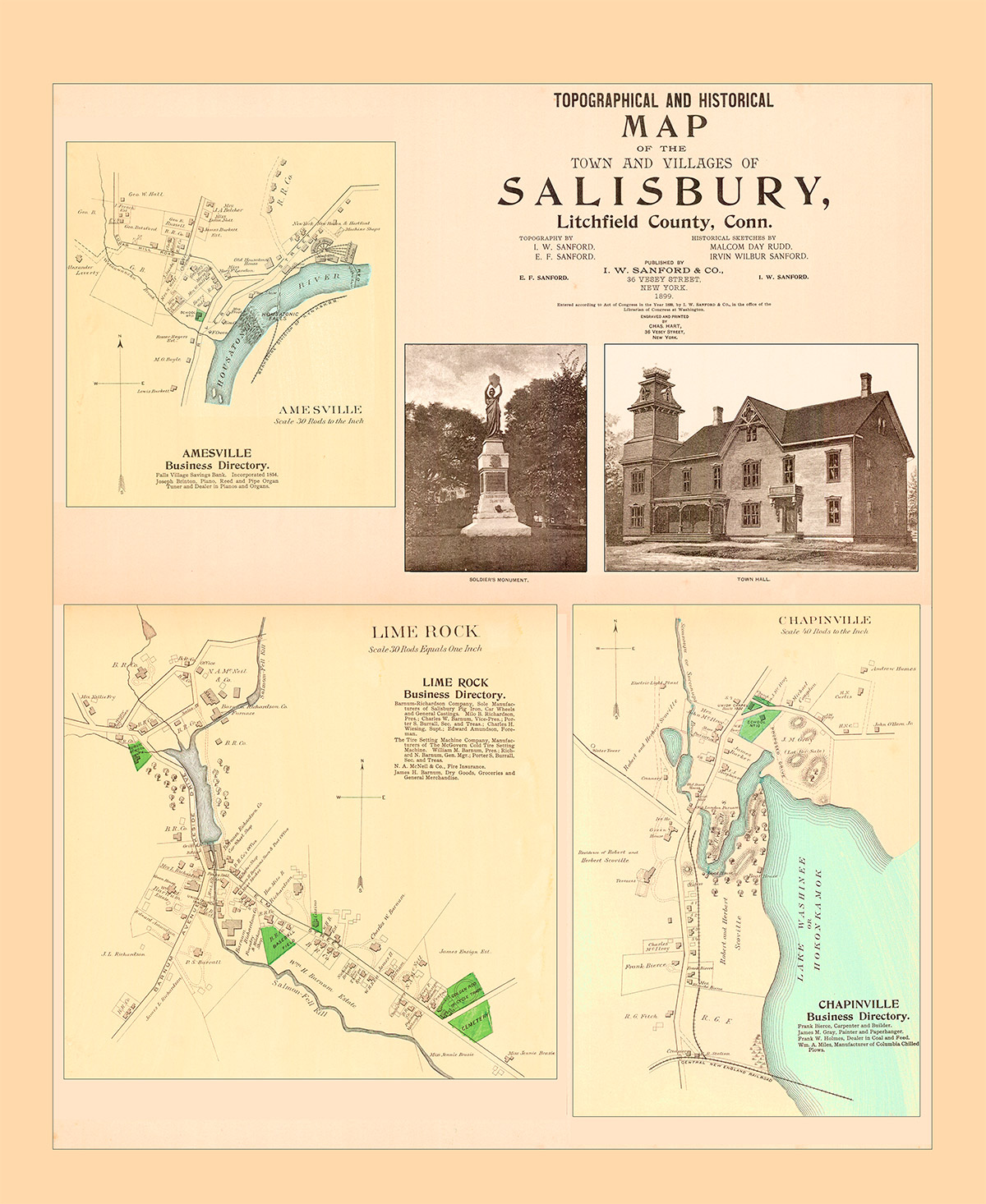
1899| Topographical and Historical Map of the Town and Villages of Salisbury, Litchfield County, CT
Published by I. W. Sanford & Co. NY
17” x 20” | $25
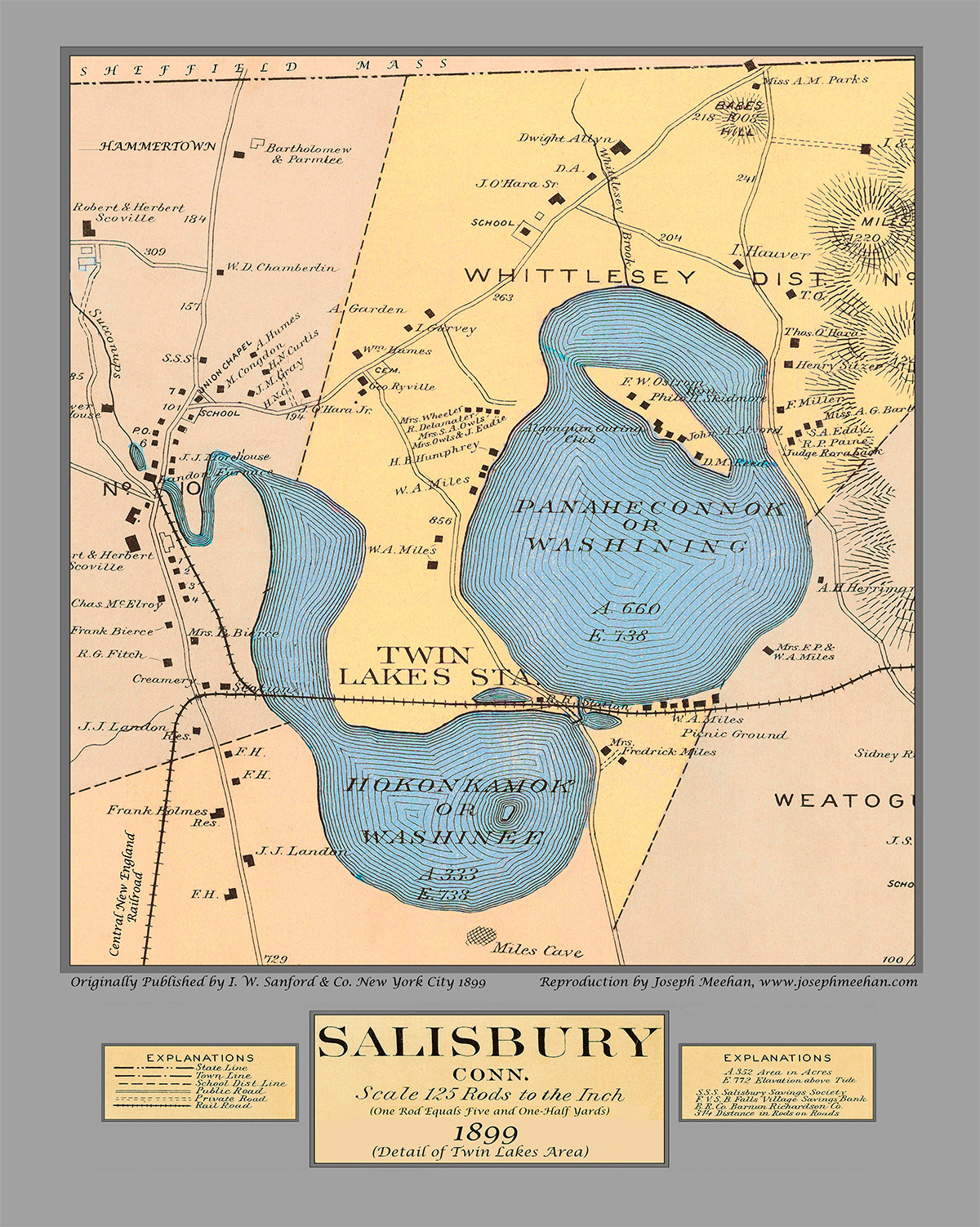
1899 | Salisbury CT (Detail of Twin Lakes area)
Published by I. W. Sanford & Co., NY
17” x 21| $25
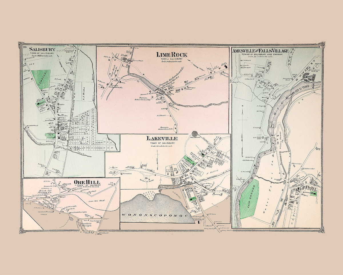
1874 | Salisbury, Lime Rock, Amesville and Falls Village, Ore Hill, Lakeville
Published by I. W. Sanford & Co., NY
17” x 21| $25
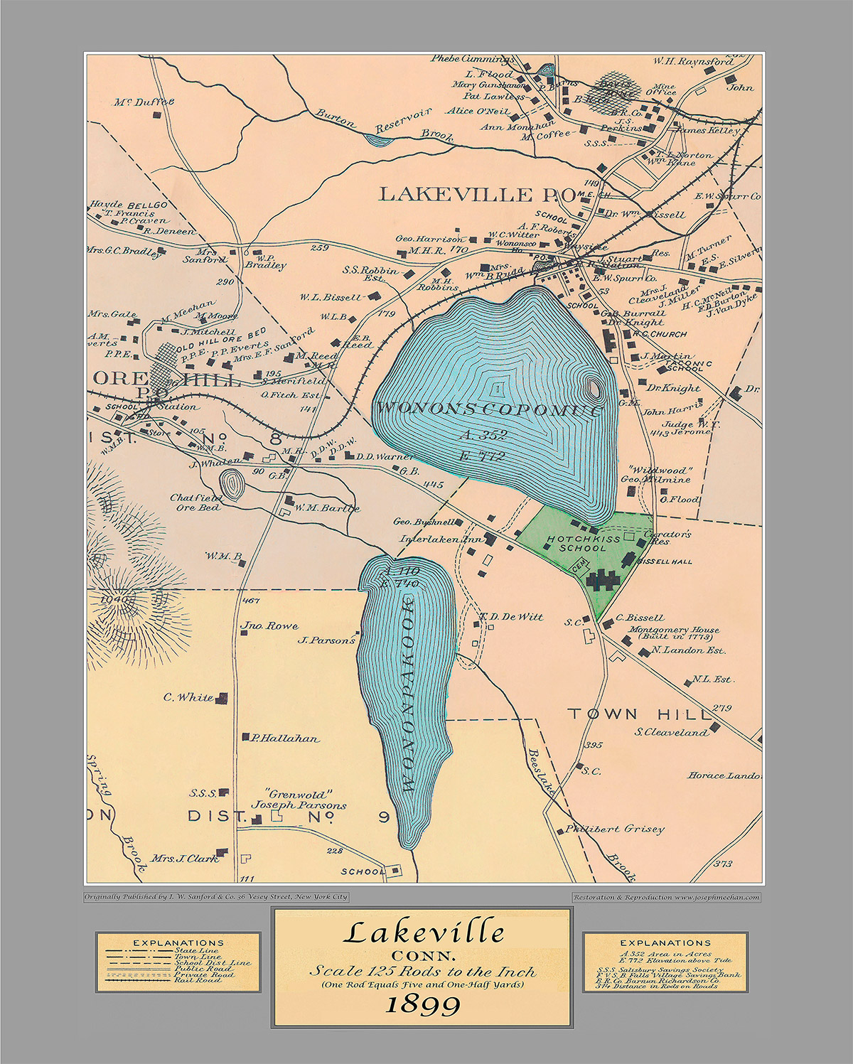
1899 | Lakeville Ct
Published by I. W. Sanford & Co, New York City
17” x 21” | $25
Purchase Maps
Salisbury Association historic maps are available for purchase at the Academy Building. Please contact us at info@salisburyassociation.org or call 860-435-0566